


The Lane
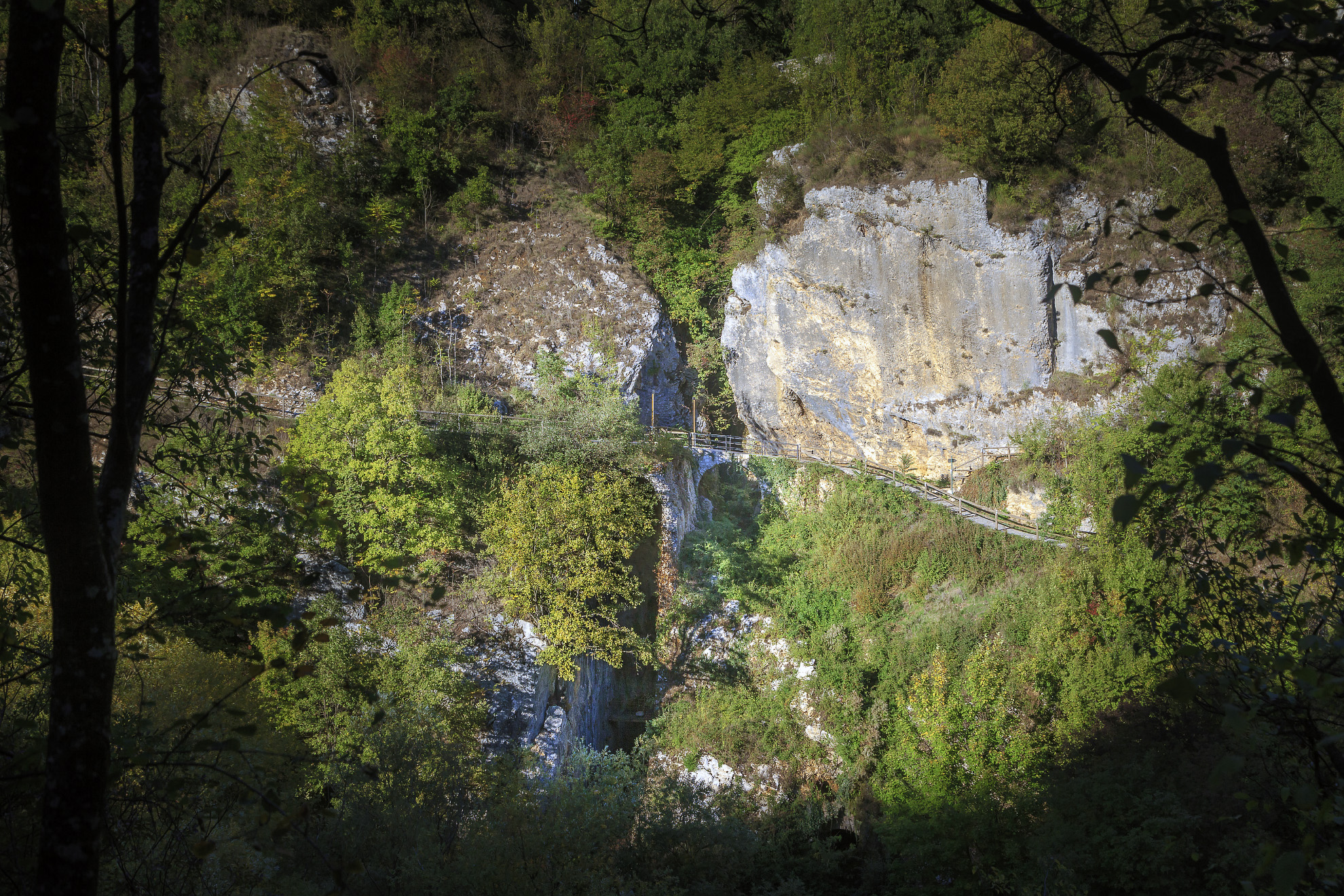
It is possible to reach the canyon of the Tunnel in three ways: from the Main Square of the ancient village ; from the street “Via Piero Masci”, near the Town Hall, and finally from the railway station of Pescocanale.
From the Main Square the lane goes on through a few houses of the ancient village and reaches the top of the Roman arch that lies underground. Nowadays it is very hard to fancy that place as a square, in fact, the existing street has taken up the whole space.
The present-day aspect has been the result of two main events: the 1915 earthquake and the opening of a new road to connect Capistrello to Filettino, during the Fascist period. They have completely changed its original configuration.
Then the lane goes down as far as the imposing sheer rock face, squared about 2000 years ago. Probably it should have housed a memorial image that was never carried out.
On the left side, half-hidden and set in the rock, there is the fresco of a Virgin Mary with Her Child of unknown painter. Popular saying ascribes it to the desire of the Roman banker Alessandro Torlonia (1800-1886).
Starting either from Via Masci or from the railway station of Pescocanale, following Via Traetto, the route of the ancient road called Marsicana or Sorana, skirting the cave of the Concarelle, those lanes lead both to the extrados of the Tunnel.
From the top of the Roman arch the lane goes down towards the remains of Alessandro Torlonia’s power plant. It had been built to supply electric power to his plants.
At this point the lane goes up for a few metres, along one of the river banks, arriving just in front of the outlet of Tunnel. The place is one of the most hidden and narrowest spot of the valley.
The Roman arch (barrel vault) and the overhanging rock face are completely immersed into that river environment, which is characterised by a variety of vegetation including: alders, white willows, hornbeams, hazels, flowing ashes, downy oaks, almond trees, spindle trees, and among herbal plants there are: ground-ivy, fennel, winter savory, lesser colamint.
Going up the river, the ruins of the Boschi’s mill can be found. It had been built around the year 1810.
From there, coming back along the river bank, the lane leads to a place called Cupone and to Graziani bridge. That is the narrowest place of the Liri valley. The word Cupone in our dialect means: a deep and dark place. In fact, it is characterised by sheer rock faces on either sides of the valley and by a thick vegetation.
Walking along the lane on the bank of the river, we can’t help admiring the railway Avezzano-Roccasecca: a masterpiece of railway engineering made between 1877 and 1902.
The way back goes on up a mild ascent along Via Pisciacotta, joining the lane walked through before.
The lane hasn’t got any technical difficulties. In fact, it has been classified as tourist level from the tract that runs from the Main Square to Torlonia’s power plant and as tourist-hiking level for the remaining part of the way.
There is a height difference between the Main Square and the river of 135 metres. The whole lane may be walked approximately in an hour.
But its advisable to wear appropriate clothing and trekking shoes.
During winter and spring months, the river Liri might be subjected to flash floods, all that would prevent hikers from walking, easily and safely, along the lane that runs on one of its banks.